GPS tagged posts

Engineers Transform Smartphones into Instruments for Studying Space

Engineers transform smartphones into instruments for studying space
Credit: University of Colorado at Boulder

That ordinary smartphone in your pocket could be a powerful tool for investigating outer space. In a new study, researchers at Google and CU Boulder have transformed millions of Android phones across the globe into a fleet of nimble scientific instruments—generating one of the most detailed maps to date of the uppermost layer of Earth’s atmosphere.

The group’s findings, published Nov. 13 in the journal Nature, might help to improve the accuracy of GPS technology worldwide several-fold. The research was led by Brian Williams of Google Research and included Jade Morton, professor in the Ann and H.J. Smead Department of Aerospace Engineering Sciences at CU Boulder.

“These phones can literally fit in your palm,” Morton said...

Read More

Breaking through the Resolution Barrier with Quantum-limited Precision

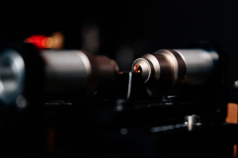
Photo (Paderborn University, Besim Mazhiqi). 

Researchers develop new method of measurement. Researchers at Paderborn University have developed a new method of distance measurement for systems such as GPS, which achieves more precise results than ever before. Using quantum physics, the team led by Leibniz Prize winner Professor Christine Silberhorn has successfully overcome the so-called resolution limit, which causes the “noise” we may see in photos, for example. Their findings have just been published in the academic journal Physical Review X Quantum (PRX Quantum).

Physicist Dr Benjamin Brecht explains the problem of the resolution limit: “In laser distance measurements a detector registers two light pulses of different intensities with a time difference...

Read More