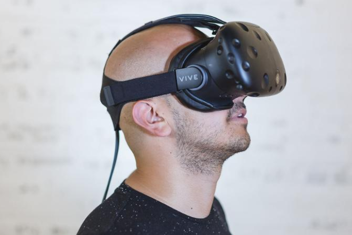
QUT researchers have used a combination of virtual reality (VR), aerial thermal-imaging and ground surveys to build a better statistical model for predicting the location of koalas and, ultimately, protecting their habitat.
In the study, published in the journal PLoS ONE, researchers from QUT and the ARC Centre of Excellence for Mathematical and Statistical Frontiers (ACEMS) used the mashup of high-tech 360-degree imagery and heat-seeking drone cameras along with traditional techniques of ground surveys to develop a model that could be used to identify areas most likely to be home to koalas, which are ...
Read More


Recent Comments