drones tagged posts

System Trains Drones to Fly Around Obstacles at High Speeds

drone graphic
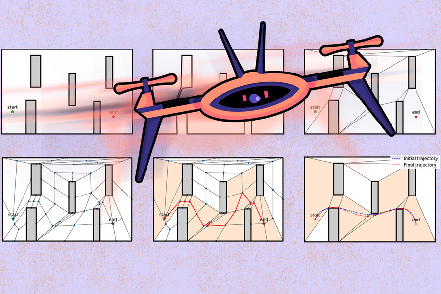
Aerospace engineers at MIT have devised an algorithm that helps drones find the fastest route around obstacles, without crashing.
Credits:Image: MIT News, with background figure courtesy of the researchers

A new algorithm helps drones find the fastest route around obstacles without crashing. The system could enable fast, nimble drones for time-critical operations such as search and rescue.

If you follow autonomous drone racing, you likely remember the crashes as much as the wins. In drone racing, teams compete to see which vehicle is better trained to fly fastest through an obstacle course. But the faster drones fly, the more unstable they become, and at high speeds their aerodynamics can be too complicated to predict...

Read More

Locust Swarm could improve Collision Avoidance

Locust swarm could improve collision avoidance
A collision detector for vehicles mimics an avoidance neuron in locusts that allows them to fly in swarms. Credit: Jennifer M. McCann / Penn State

Plagues of locusts, containing millions of insects, fly across the sky to attack crops, but the individual insects do not collide with each other within these massive swarms. Now a team of engineers is creating a low-power collision detector that mimics the locust avoidance response and could help robots, drones and even self-driving cars avoid collisions.

“We are always looking for animals with unusual abilities, ones that do something better than humans,” said Saptarshi Das, assistant professor of engineering science and mechanics...

Read More

Drones can now Scan Terrain and Excavations without Human Intervention

Measuring and documenting gravel and limestone quarries, cliff faces and similar natural and man-made formations is often done using drones that photograph the area. New research may make the pilots superfluous. (NB: The vertical rod on top of the drone carries a wind detector for test purposes, and it is not present on the final version of the drone.) Photo: Erdal Kayacan.

Drone pilots may become superfluous in the future. New research from Aarhus University has allowed artificial intelligence to take over control of drones scanning and measuring terrain.

A research project at Aarhus University (AU) in collaboration with the Technical University of Denmark (DTU) aims to make measuring and documenting gravel and limestone quarries much faster, cheaper and easier in the future.

Read More

Fleets of Drones could Aid Searches for Lost Hikers

MIT researchers describe an autonomous system for a fleet of drones to collaboratively search under dense forest canopies using only onboard computation and wireless communication — no GPS required. Images: Melanie Gonick

MIT researchers describe an autonomous system for a fleet of drones to collaboratively search under dense forest canopies using only onboard computation and wireless communication — no GPS required.
Images: Melanie Gonick

Autonomous System allows drones to cooperatively explore terrain under thick forest canopies where GPS signals are unreliable. The drones use only onboard computation and wireless communication – no GPS required.

Each autonomous quadrotor drone is equipped with laser-range finders for position estimation, localization, and path planning. As the drone flies around, it creates an individual 3D map of the terrain. Algorithms help it recognize unexplored and already-searched spots, so it knows when it’s fully mapped an area...

Read More