

Researchers develop new method of measurement. Researchers at Paderborn University have developed a new method of distance measurement for systems such as GPS, which achieves more precise results than ever before. Using quantum physics, the team led by Leibniz Prize winner Professor Christine Silberhorn has successfully overcome the so-called resolution limit, which causes the “noise” we may see in photos, for example. Their findings have just been published in the academic journal Physical Review X Quantum (PRX Quantum).
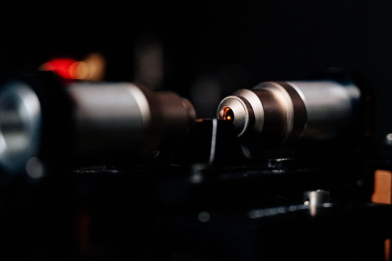
Physicist Dr Benjamin Brecht explains the problem of the resolution limit: “In laser distance measurements a detector registers two light pulses of different intensities with a time difference...
Read More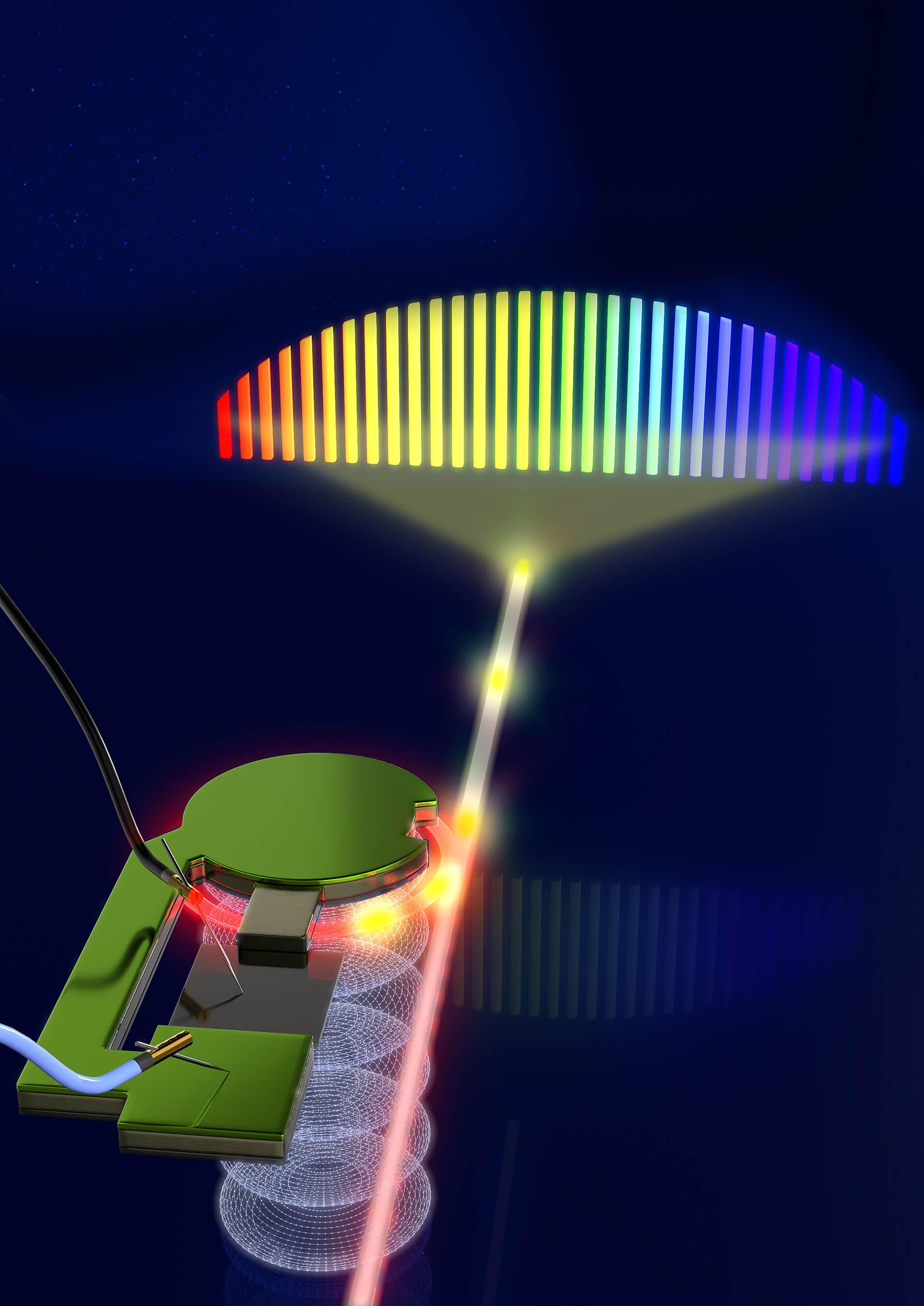


Recent Comments